
Click a marker to open our guide to that Los Angeles neighborhood or city: housing styles, transit, things to do and local tenant resources. Use the map to compare where areas sit relative to work, school and the beach.
Last updated: October 31, 2026. By the Apartments Club Editorial Team. See our Editorial Standards & Sources.
- Hollywood
- West Hollywood
- Silver Lake
- Echo Park
- Pasadena
- Burbank
- Glendale
- Culver City
- Venice
- North Hollywood
- Long Beach
- Santa Monica
- Koreatown
- Downtown Los Angeles
- Sherman Oaks
How to use this map
Markers show approximate neighborhood centers, not exact boundaries. Pair the map with our rent data: cheapest LA neighborhoods by ZIP and the Los Angeles rent report. Then check what fits your budget with the LA rent affordability calculator.
See all guides on the LA neighborhood guides hub. Have a question about an area? Ask LA renters.
Map data © OpenStreetMap contributors. Map library: Leaflet.
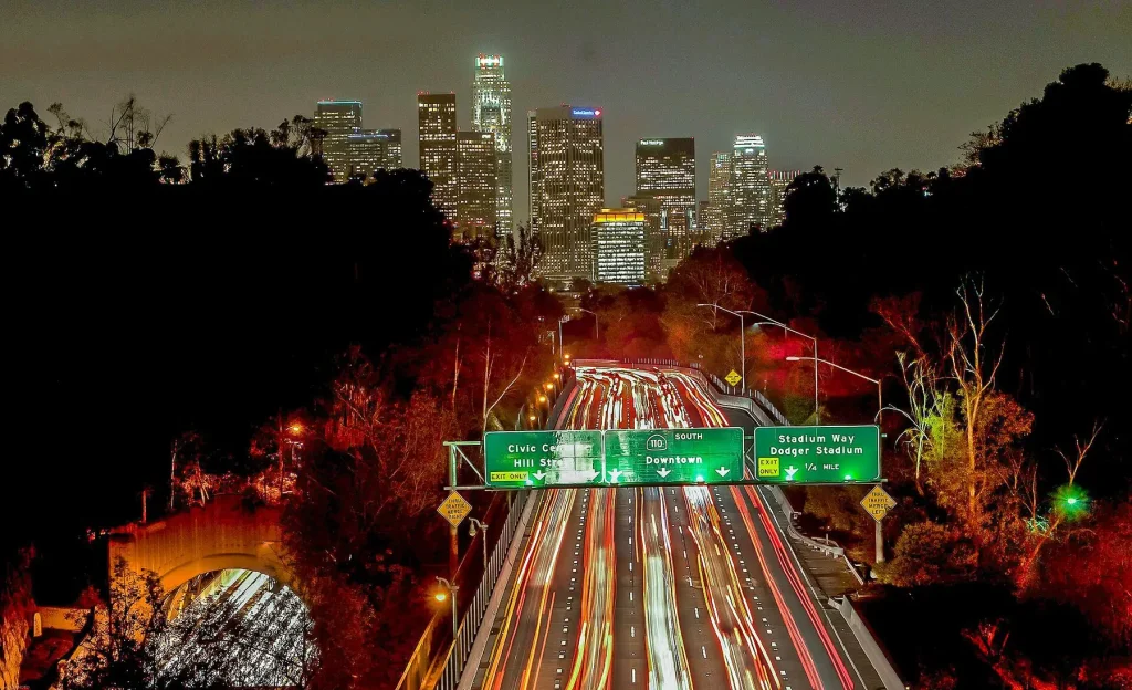
Featured photo: Photo: Josh Rose joshsrose / Wikimedia Commons, CC0